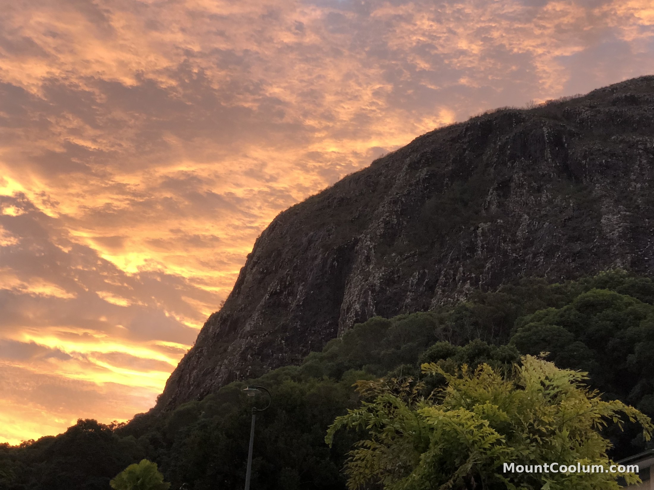
Mount Coolum's volcanic dome silhouetted against a glowing sunset sky, seen from the base of the mountain
Mount Coolum National Park · Sunshine Coast, Queensland

An ancient volcanic
dome by the sea

A short, steep climb to 208 metres, and one of the most argued-about rocks in Australia.

… Loading current conditions
208mSummit above sea level
~26MYears since it formed
Grade 4Fit walkers only
Where it is

A landmark you can see from the highway

Mount Coolum sits on Queensland's Sunshine Coast, about 101km north of Brisbane, wedged between the townships of Coolum Beach to the north and Marcoola to the south, with the Sunshine Motorway running along its western side. It rises straight out of the flat coastal plain, which is exactly why it's visible from so far away — there's nothing else nearby of a similar height to compete with it.

The mountain and the ground around it form Mount Coolum National Park, a small reserve of about 69 hectares managed by Queensland Parks and Wildlife Service, protecting the summit itself along with pockets of open forest, heathland and a few plant species found almost nowhere else on Earth.

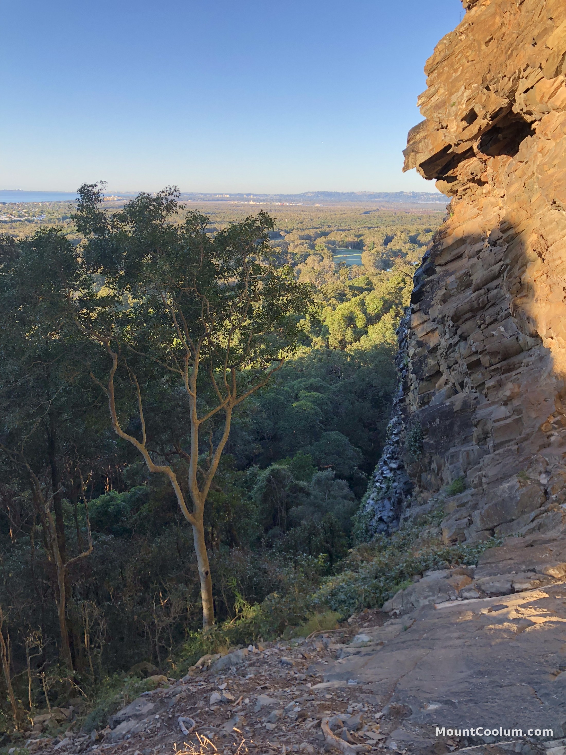
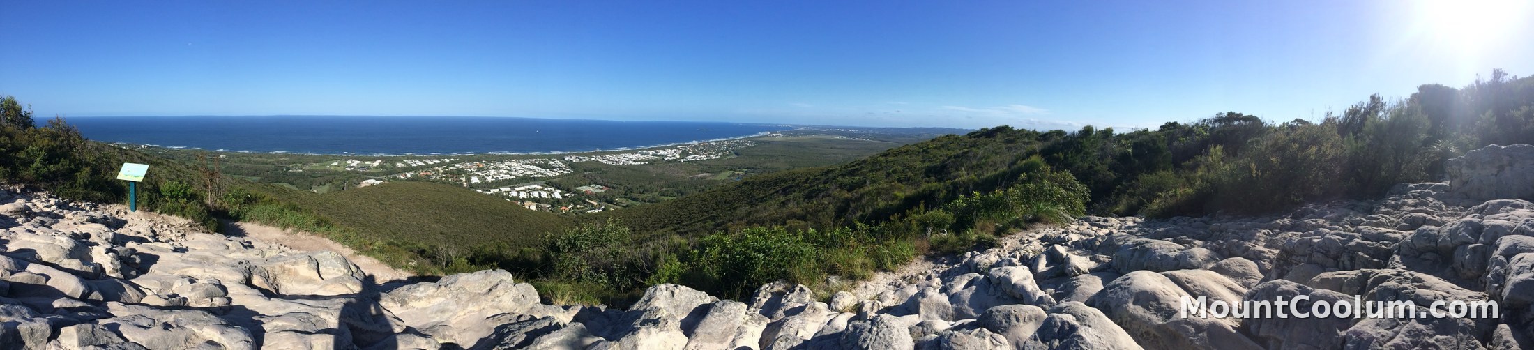
Panoramic view from the Mount Coolum summit track looking north along the coastline over Coolum Beach

Getting there & parking

Where to park for the climb

The main car park sits off Tanah Street West, near its junction with Jarnahill Drive, about 3.5km south of Coolum Beach and just off the David Low Way. Follow the National Parks signage from the road and you'll see the track entrance directly from the car park.

  • From the southTake the Sunshine Coast Motorway to the Sunshine Coast Airport exit, continue on David Low Way, then turn into Tanah Street West and left into Jarnahill Drive.
  • From the northHead south through Coolum on David Low Way, or take the Coolum exit off the motorway onto South Coolum Road, which leads through to Tanah Street West.
  • Overflow parkingOff-road parking is also available on the corner of Jarnahill Drive and Tanah Street West when the main car park fills up.
  • FacilitiesA new public toilet block at the car park has just been completed — worth knowing before you set off, since there's nothing on the track itself. No cafe or water refill on site though, so bring your own bottle. The Mount Coolum shopping strip with food and drink options is about 300m away.

Go early

This is one of the most popular free things to do on the Sunshine Coast, and the car park is small relative to demand. Arrive early morning, especially on weekends and school holidays, or expect to wait for a space.

Mount Coolum car park, Tanah Street West, Coolum.

Fitness & the track

Short, steep, and honestly a proper workout

The Mount Coolum Summit Track is rated Grade 4 on the Australian walking track grading system — suitable for fit walkers only. It's about 800m each way (1.6km return), but almost all of that is climbing: steep, uneven steps, loose gravel, and exposed rock lookouts with unfenced edges near the top.

Grade 4 of 5 — steep and challenging, but no ropes, scrambling or technical climbing required.

Most people take 1–2 hours to go up and back, though very fit regulars do it in well under an hour. Around three-quarters of the track has been paved and stepped to control erosion, and near the top you'll walk over naturally hexagonal rock columns that make surprisingly good stairs.

  • Who it suitsReasonably fit adults and older children. Not suitable for prams, wheelchairs, or anyone unsteady on steep steps.
  • FootwearClosed, ankle-supporting shoes with grip — the surface is loose gravel in places.
  • KidsDoable for many families, but supervise closely near the summit lookouts, which are unfenced.
  • WeatherWalk in fine weather only — the track becomes genuinely slippery when wet. In summer, climb early to avoid heat exhaustion; there's very little shade.
  • AlternativeNearby Emu Mountain at Coolum Beach is a gentler 45-minute option with a similar coastal outlook.

The lesser-known back trail

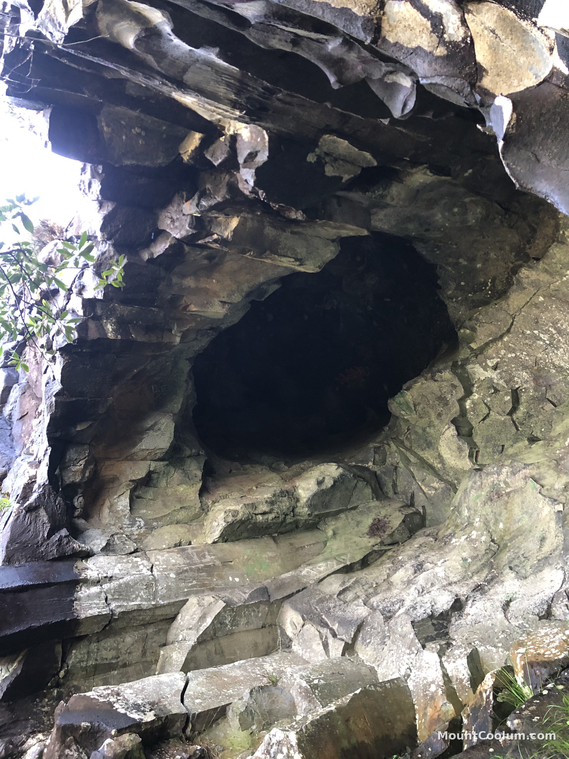
Alongside the main summit track, a rougher, far quieter route runs up the rear (western) side of the mountain, sometimes marked online as "Backside of Mount Coolum" or the caves and back track. It isn't part of the signposted QPWS summit track — expect an unmarked, less-maintained path with more exposed scrambling, so it suits confident, experienced walkers rather than a first visit. Worth knowing about if you want the climb without the crowds, but go with someone who knows the route or a GPS track, since signage is minimal.
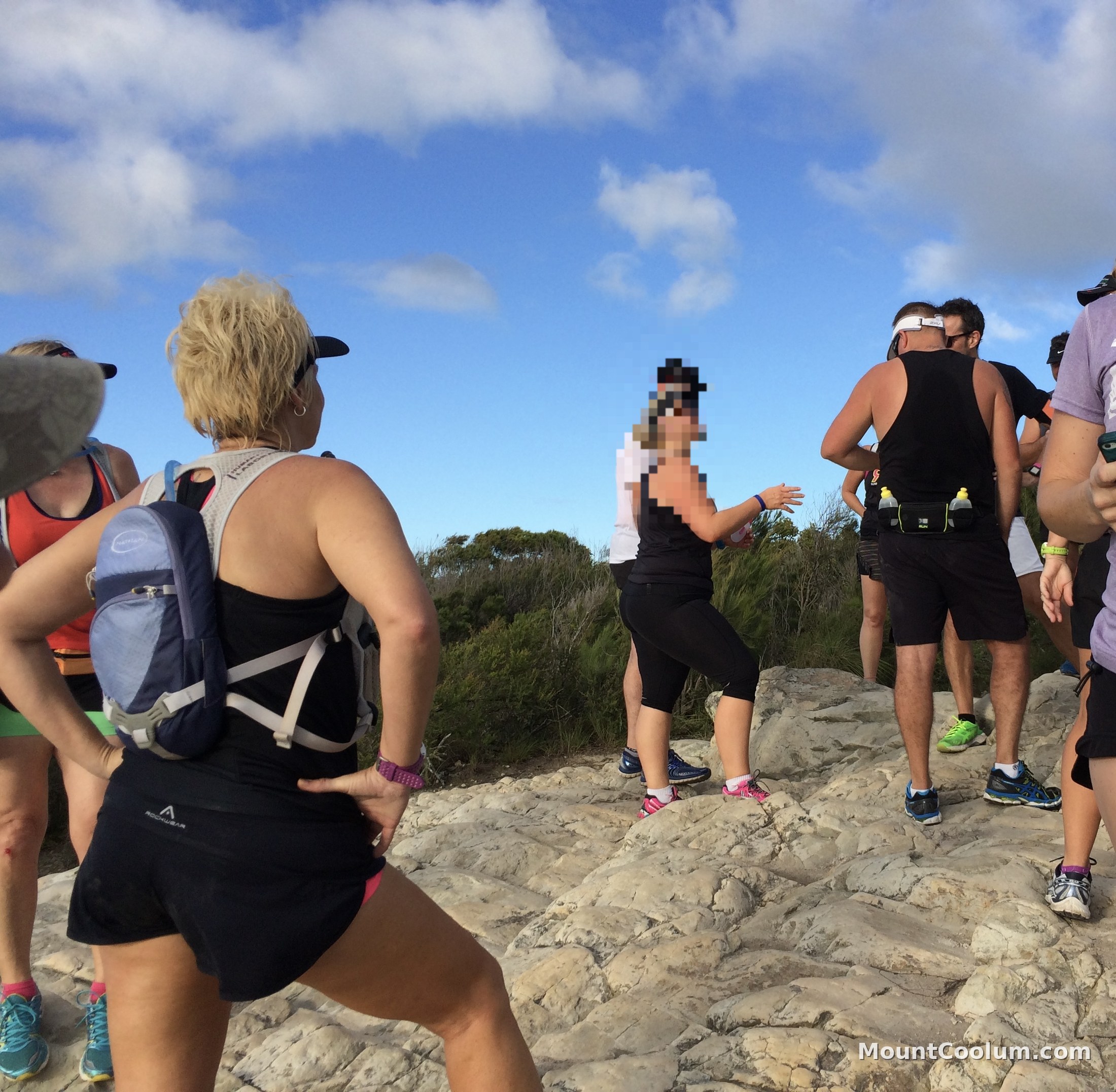
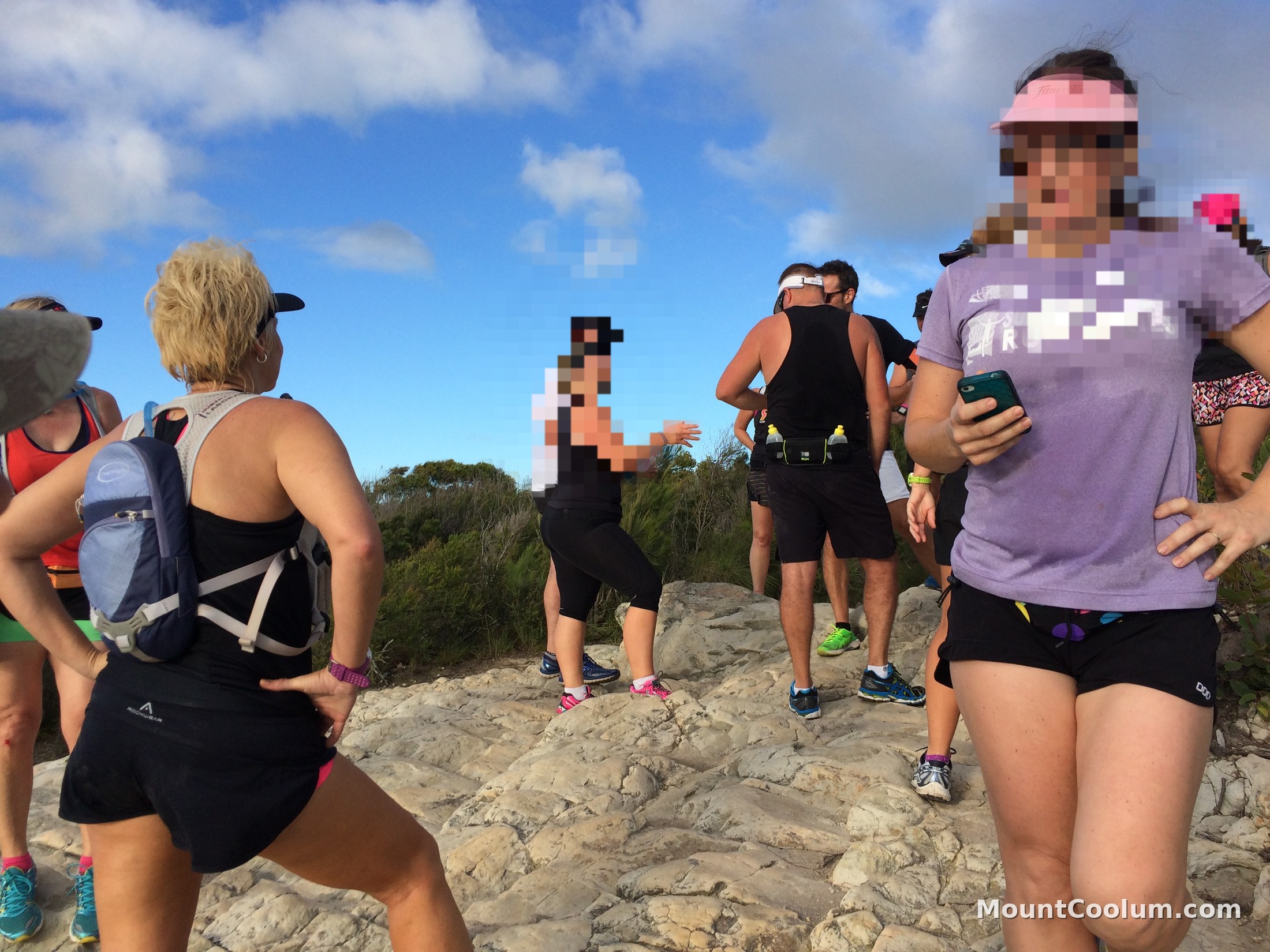
A group of walkers standing on the rocky summit outcrop of Mount Coolum after the climb

History & geology

A volcano that never erupted

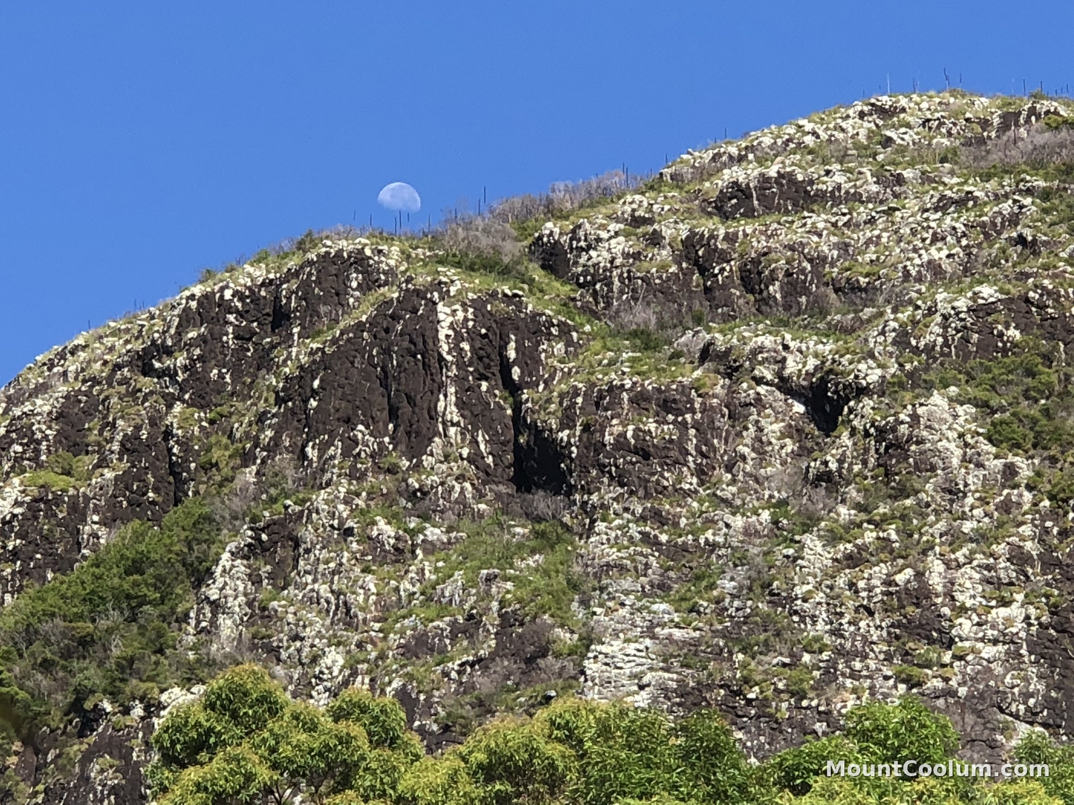
Mount Coolum began forming around 26 million years ago, not as a volcano that erupted, but as a laccolith: a dome-shaped bulge of magma that pushed up into the layers of rock above it and cooled slowly underground, without ever breaking the surface. Over millions of years, the softer surrounding sandstone eroded away, leaving the harder volcanic rock — rhyolite — standing exposed as the dome we see today.

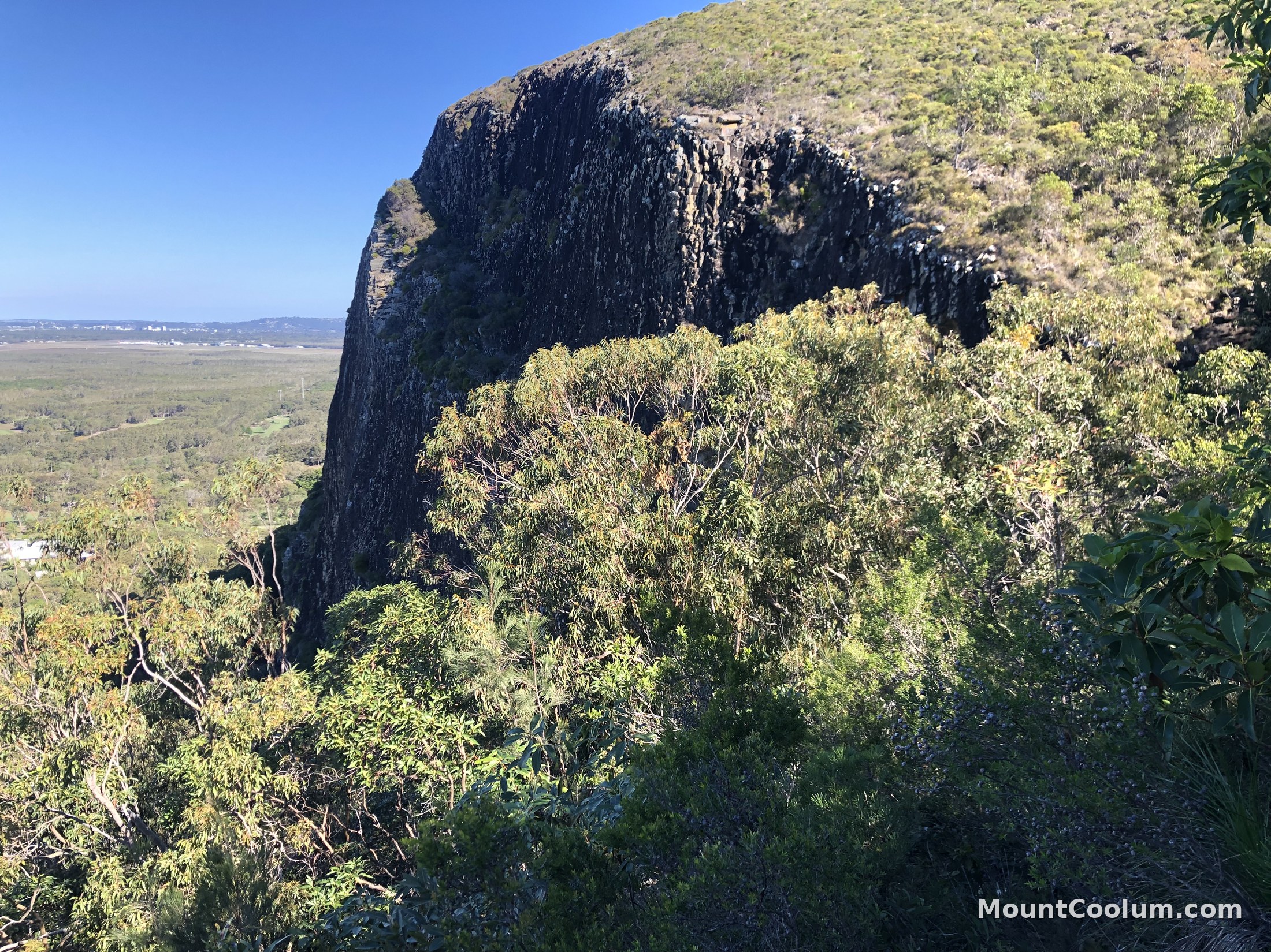
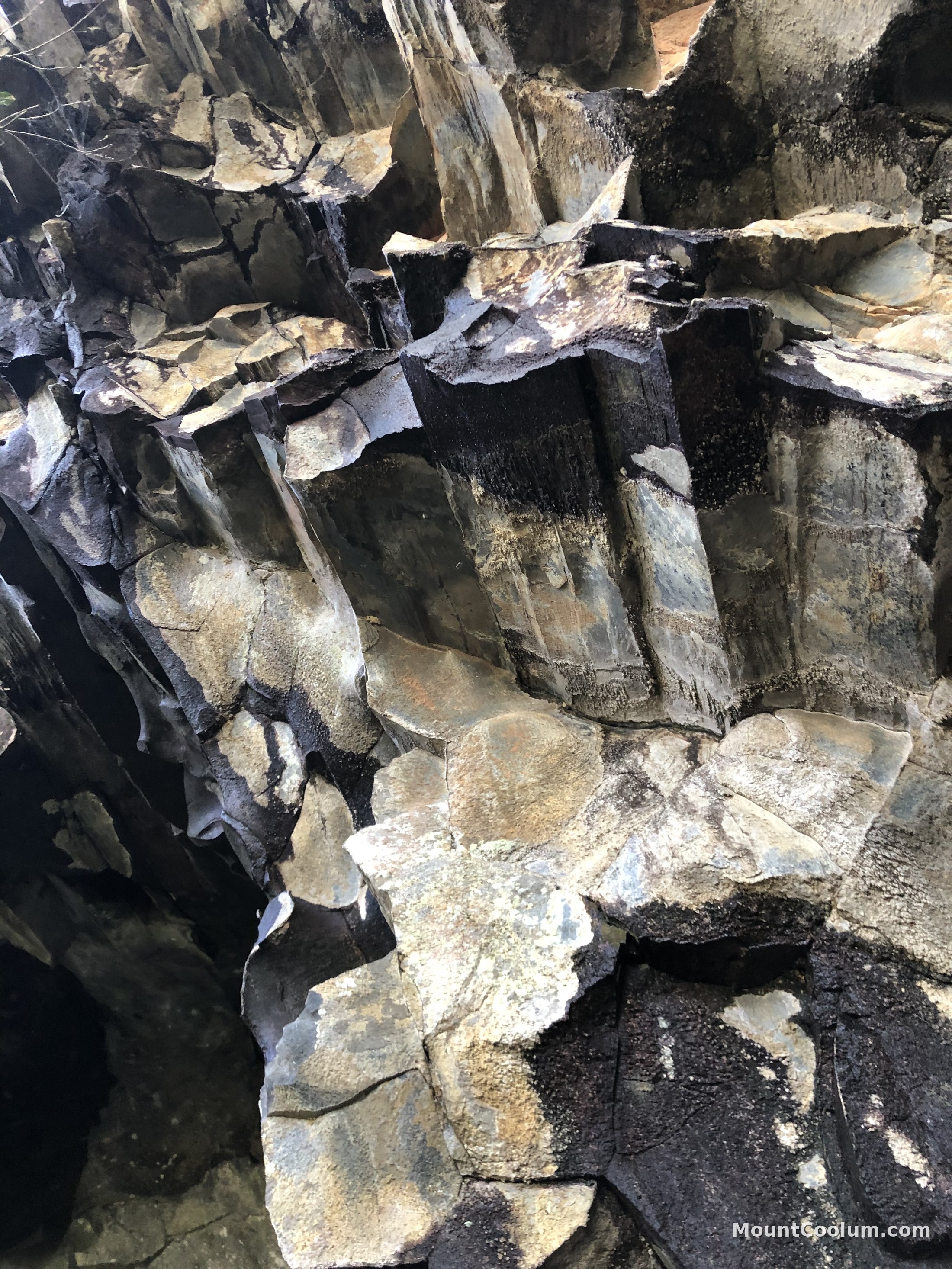
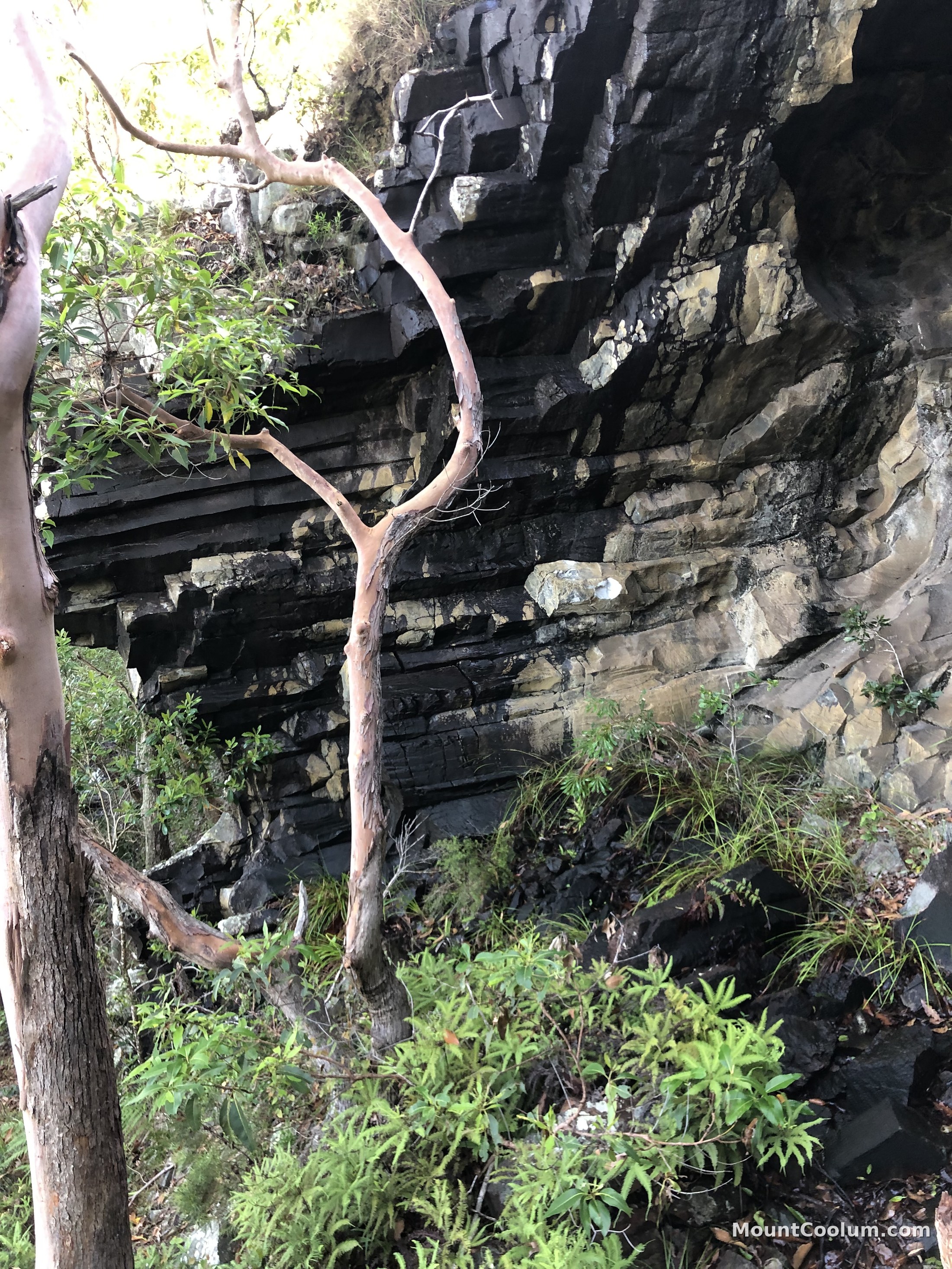
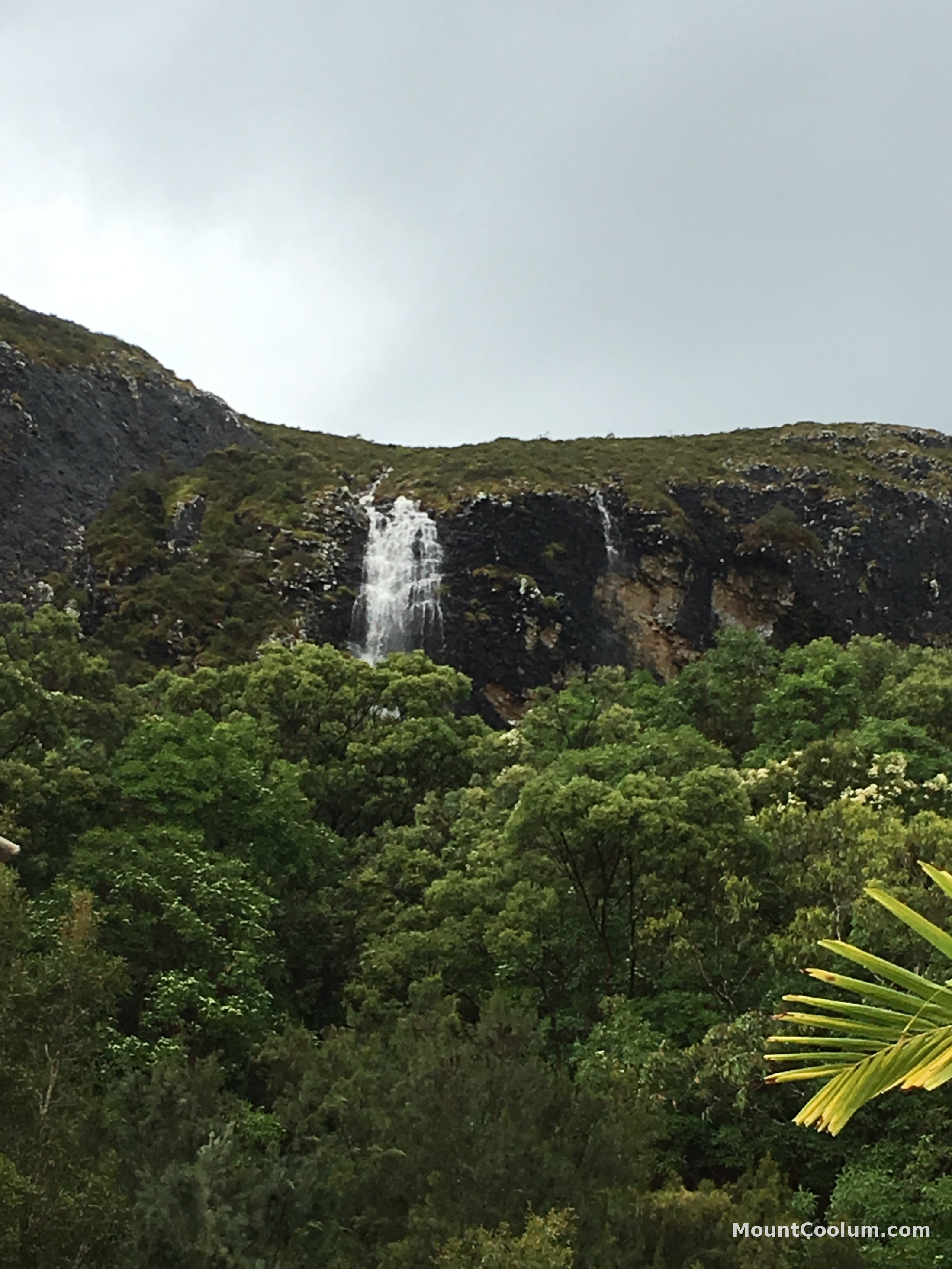
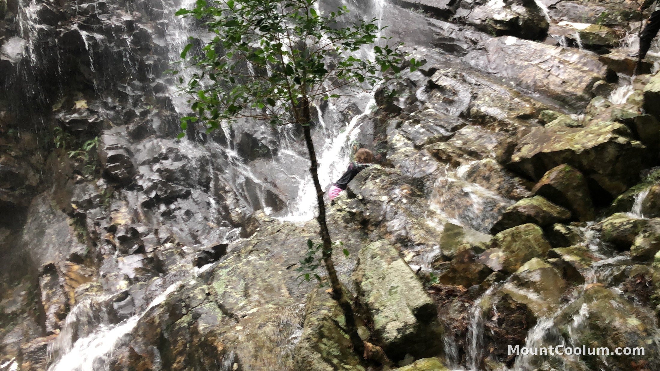
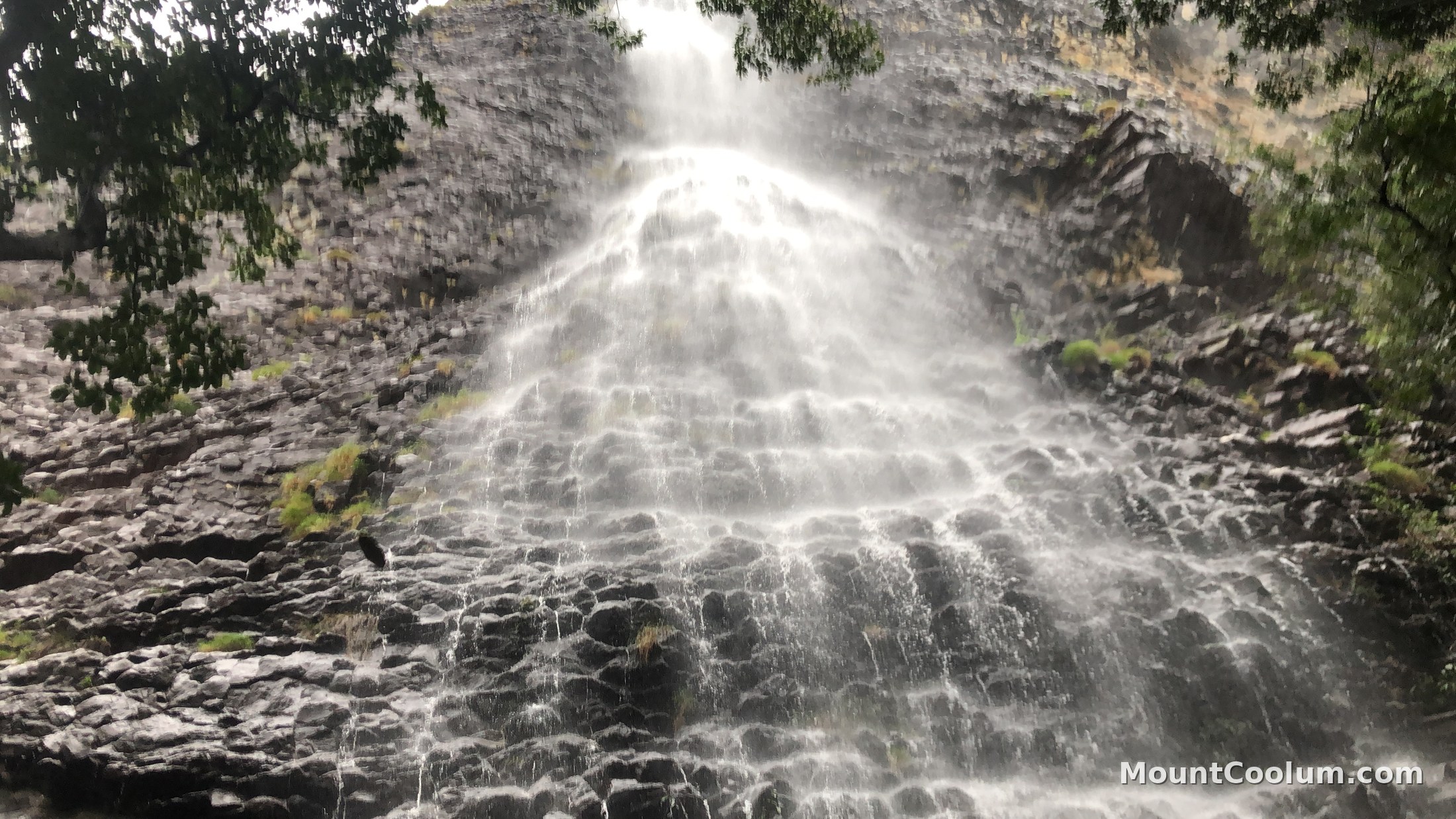
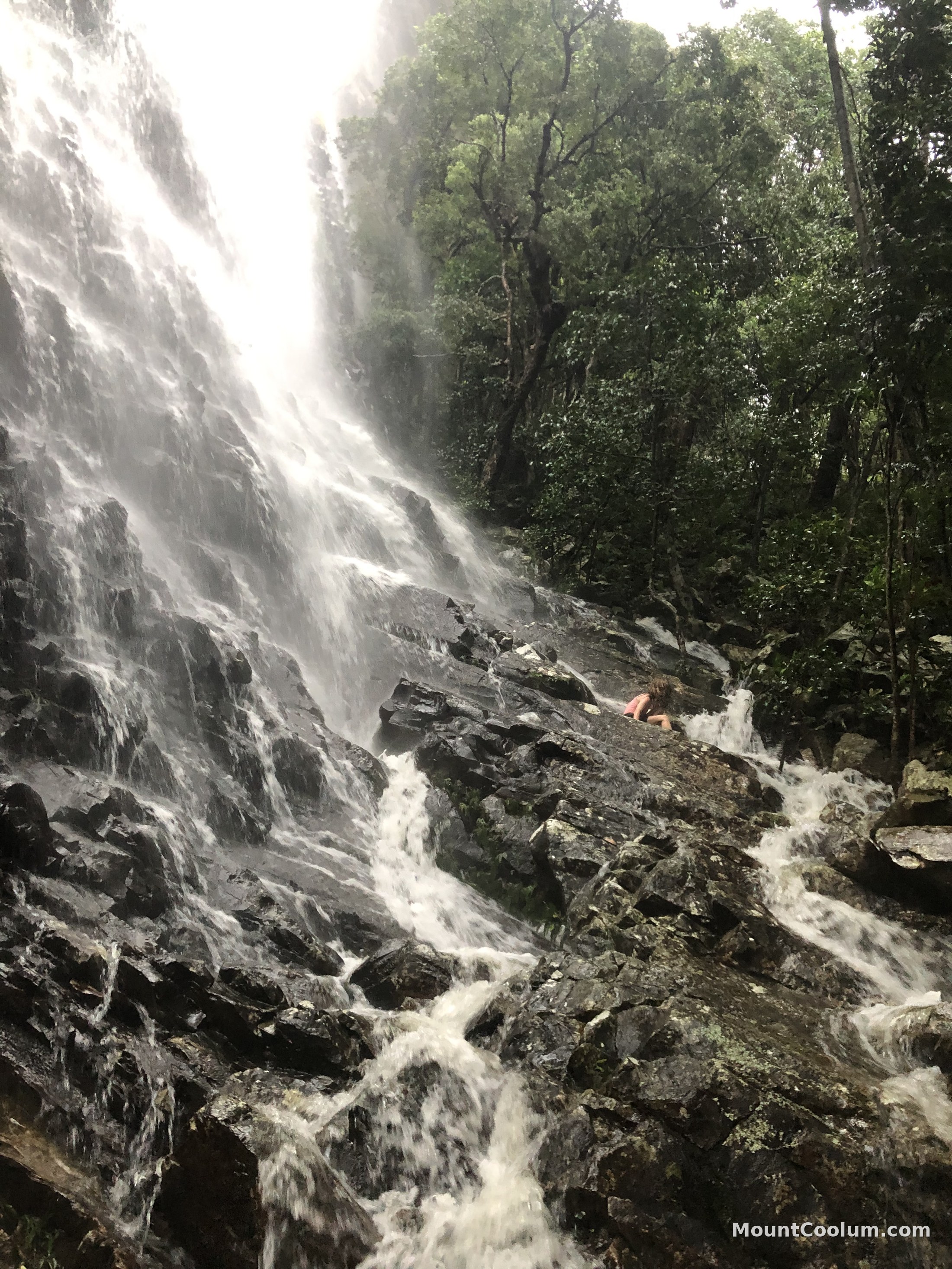
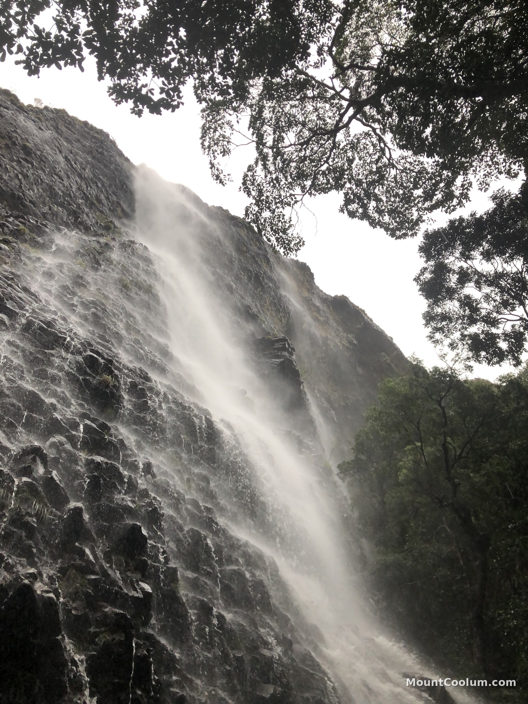
As the rhyolite cooled, it contracted into the same kind of hexagonal columns seen at sites like the Giant's Causeway, and on the walking track these columns lie almost horizontally underfoot, forming natural steps. A disused quarry sits in the eastern foothills, and after heavy rain, temporary waterfalls appear on the cliffs.

Mount Coolum belongs to a chain of similar volcanic remnants running down the Sunshine Coast hinterland, most famously the Glass House Mountains further south, all left behind by the same period of volcanic activity. The national park protecting it was established in 1990.

Dark rhyolite cliff face on Mount Coolum showing natural hexagonal columnar jointing

Interesting facts

What makes Mount Coolum worth the climb

Not actually the "second-largest rock"

You'll often see Mount Coolum described as the world's second-largest monolith after Uluru. It's a well-worn local claim, but it doesn't hold up: Western Australia's Mount Augustus is more than twice the size of Uluru, and Victoria's Pine Mountain is also considered larger, so Mount Coolum isn't even the second-largest rock in Australia, let alone the world.

By height alone, its 208m summit is a little over half of the 348m Uluru rises above the desert — and by footprint the gap is far wider, with Mount Coolum covering around one hectare against Uluru's 330-plus. It's a genuinely striking volcanic remnant, just not a record-holder.

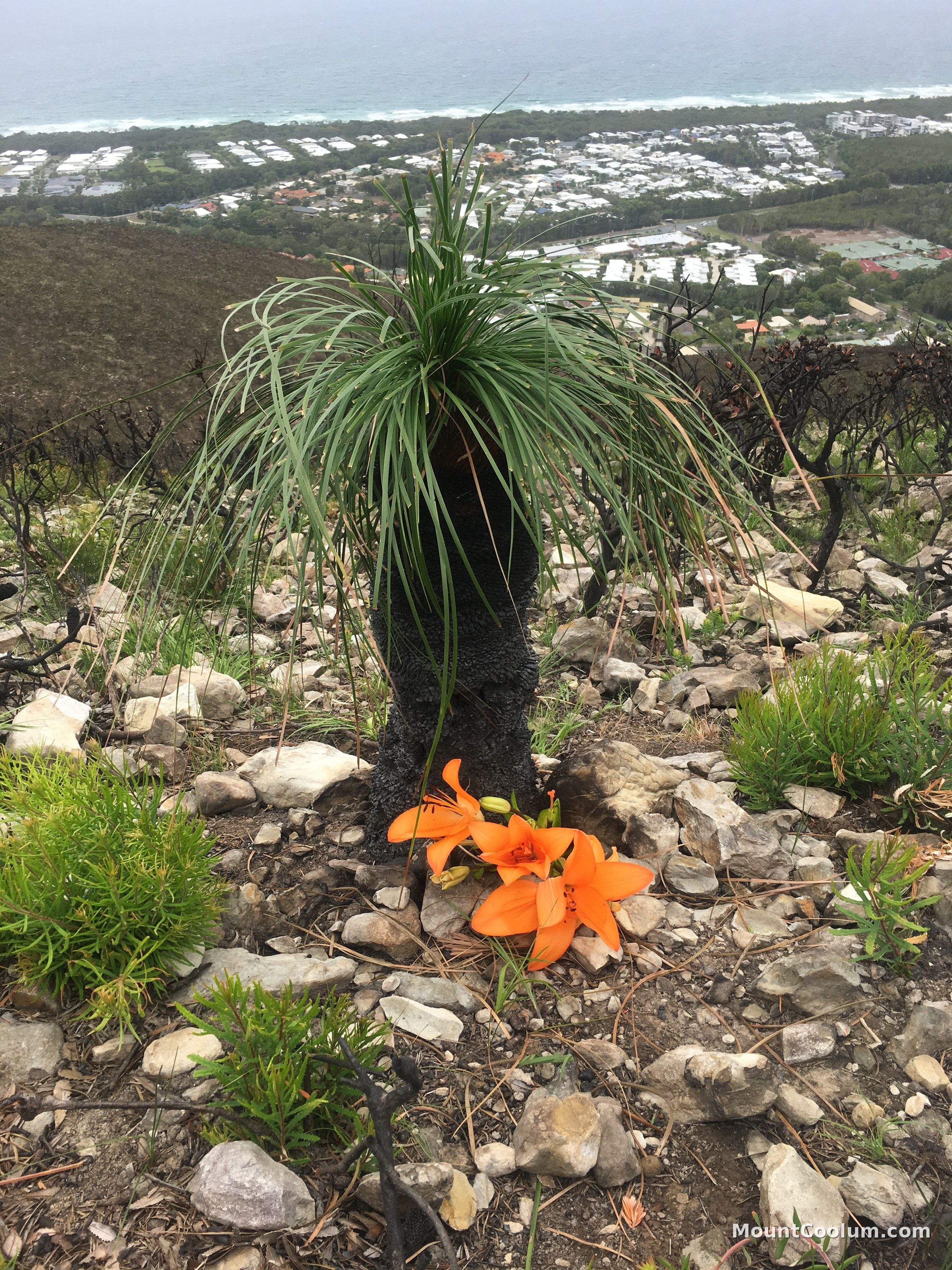
A grass tree and orange fire lily flowers growing on Mount Coolum's upper slopes after bushfire, with the coast visible below

Plants that grow nowhere else

Two endangered she-oak species, the Mount Coolum she-oak and the Emu Mountain she-oak, grow only in this small pocket of the Sunshine Coast. Golden candlestick banksias flower on the upper slopes between May and August, and fire lilies push up through the rock within weeks of a burn.

A falcon's nest with a view

The cliffs are home to peregrine falcons, and climbers and walkers occasionally spot them riding the updrafts around the summit — among the fastest animals on Earth, nesting on one of the Sunshine Coast's tallest points.

Climbing, but only in one spot

Bushwalking aside, rock climbing is permitted only in a shaded cave on the mountain's south-eastern side, where steep, overhanging sport routes are cut into the same rhyolite that forms the summit track's natural steps.

The view at the top

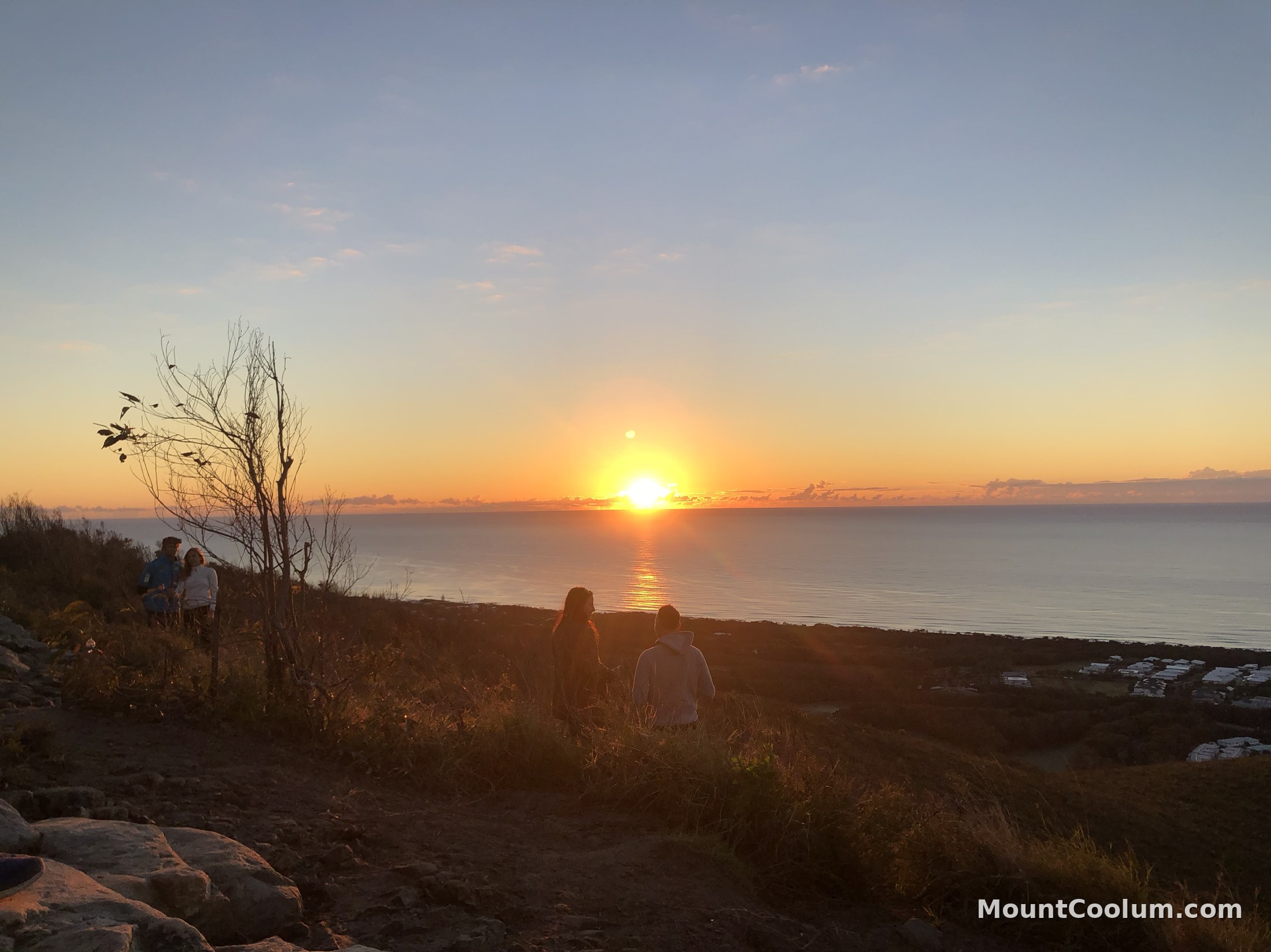
On a clear day the summit looks out to Old Woman Island off Mudjimba, Point Cartwright and the Blackall Range, the Glass House Mountains to the south, and north as far as Noosa Heads.

No camping on the mountain

Camping isn't permitted in the national park itself. The nearest options are the coastal towns of Coolum Beach and Mudjimba, both a short drive away.